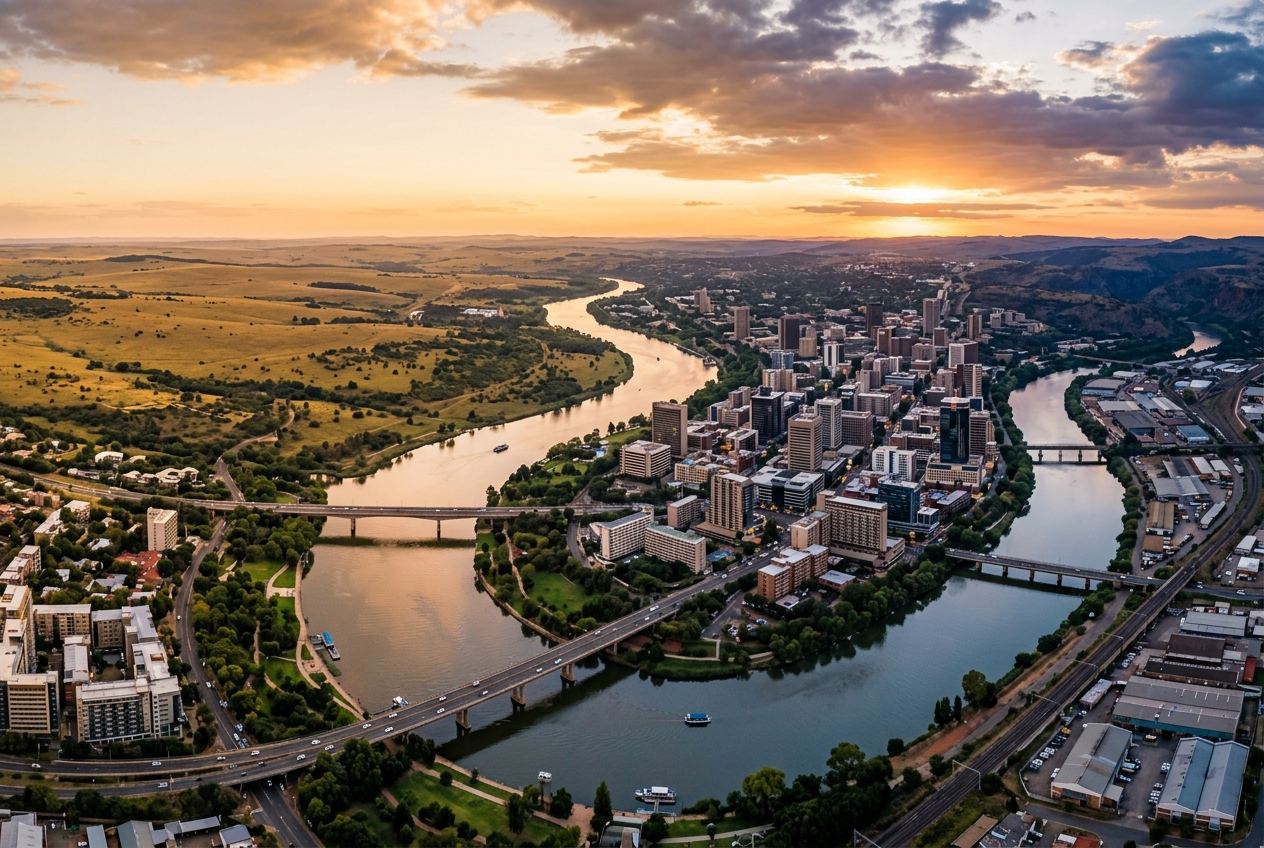
SOUTH AFRICA · SEDIBENG · THE VAAL REGION
Vaal Smart City
A connected region for people, industry and opportunity.
A layered development landscape anchored by strategic location, an established industrial base, a proposed Special Economic Zone, aviation and logistics initiatives, riverfront living and regional connectivity — distinct initiatives, connected by geography.
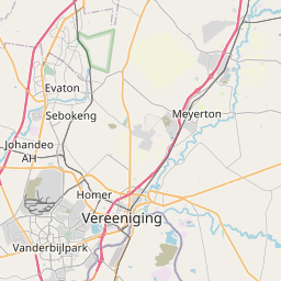
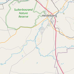
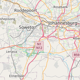
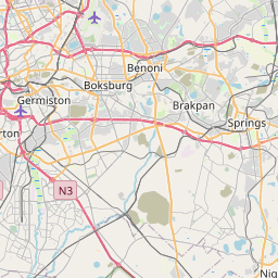
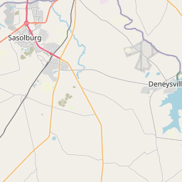
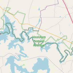
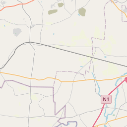

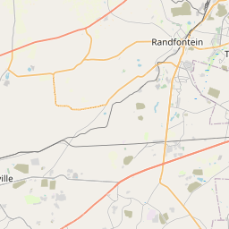

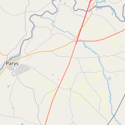

Leaflet © OpenStreetMap contributors · Boundaries © geoBoundaries
Markers approximate · areas conceptual · corridors schematic
Strategic
Location
Between Gauteng and the Free State
817 ha
Proposed SEZ designation area
dtic, 2026 [S2]
Publicly reported
3,080 ha
Broader land programme
Sedibeng, 2026 [S3]
Publicly reported
Multi-sector
Opportunity
11 mapped initiatives
INVESTMENT AREAS
Diverse opportunities. A connected future.
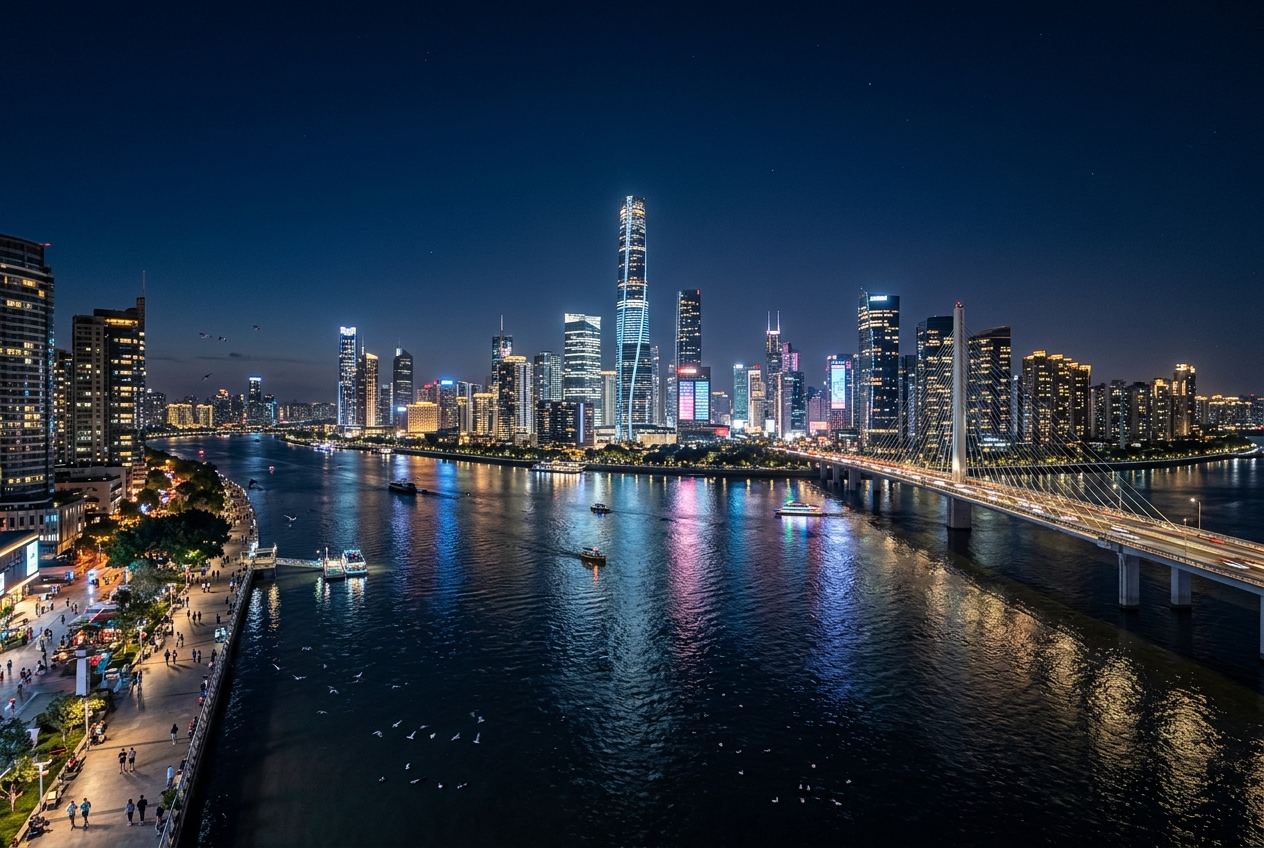
A REGION OF POTENTIAL
More than a city.
A catalyst for inclusive growth.
The regional vision brings together infrastructure, economic development and sustainable communities. Each initiative keeps its own sponsor, status and evidence trail.
People
Quality living, jobs and skills development.
Industry
Competitive, future-ready economic clusters.
Sustainability
A greener, more resilient region.
Connectivity
Integrated transport, digital and infrastructure corridors.
THE INVESTOR JOURNEY